Services

3D MODELING

Integrating field and geophysical data

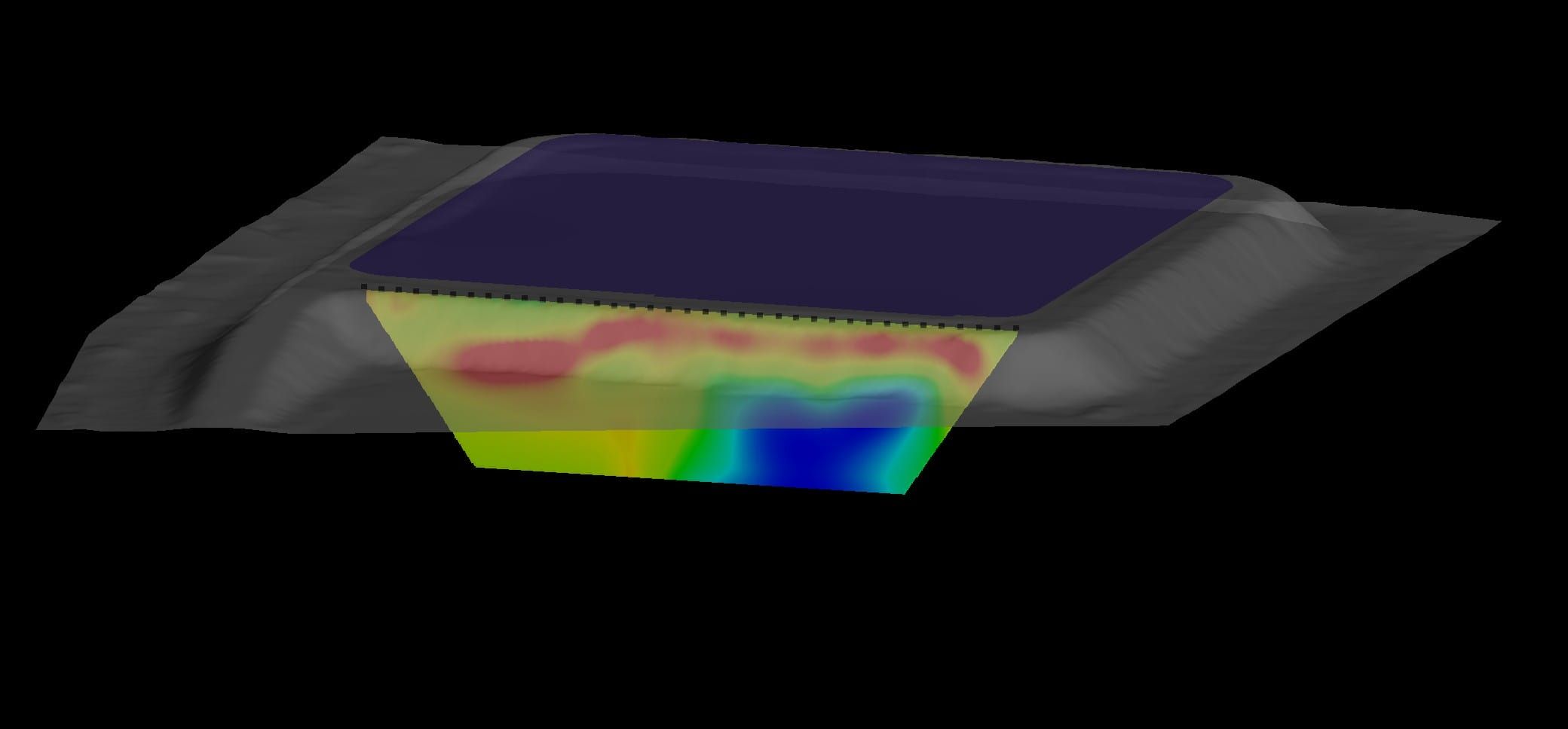
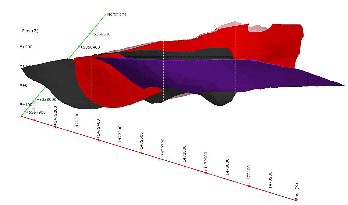
3D geological modeling is a software representation of rocks, their structures and different types of auxiliary data acquired in the field by geologists.

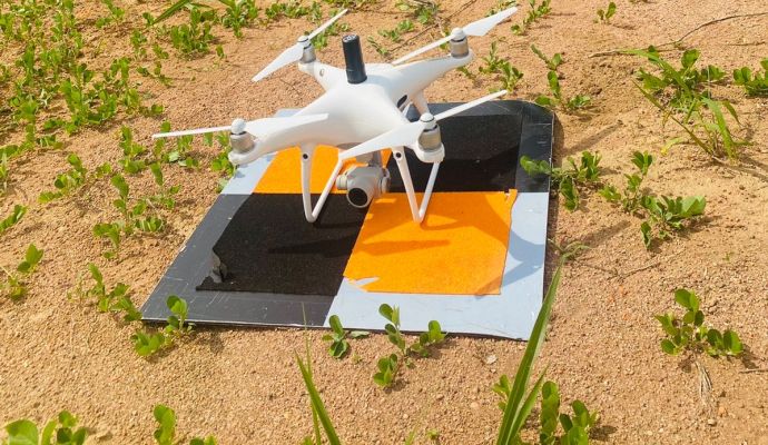
This data can be from a variety of sources, some examples are:

  • Data related to ore grades, such as geochemical data from boreholes.
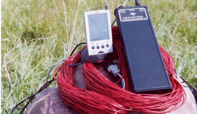
  • Data from geophysical surveys carried out for the prospecting of metallic minerals.
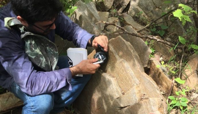
  • Fault data that has been identified and measured in the field.
MODELAGEM 3D

What results are obtained through 3D geological modeling?

With the database correctly inserted into the software and using the correct model to interpret and model the rock strata and this information, several different results can be generated, such as:

  1. Where the mineral resource (ore) is located;
  2. What are the limits of this body;
  3. Its quality and quantity (content); and
  4. The nature of the environment in which this mineral resource is located.

This information will help the entrepreneur to understand if there is economic viability in that enterprise and if he decides to extract ore, in which places he should start his extraction and to what depth he should extract that particular ore.

It is important to note that modeling is a later step than other types of work, as it is important to obtain different data so that it can be carried out efficiently.

Visit our blog

  • MODELAGEM 3D

    Do you need to help
    with any of our services?