Learn more about Geological Mapping
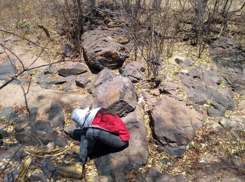
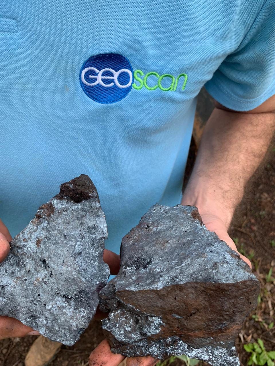
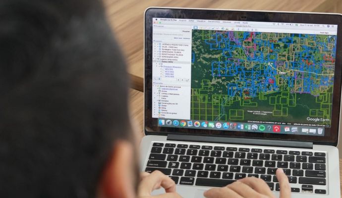
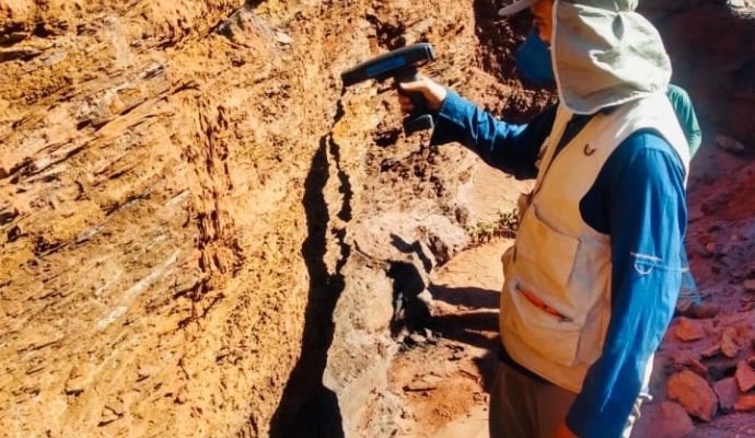
O Geological mapping is an investigation carried out by geologists in order to identify the rocks that occur in a given area, the presence of deformations, faults, fractures and other geological information. After the geological mapping is carried out the geological map is prepared, which will locate and compile the data obtained.
Its main use is for mineral exploration, as this is a crucial step to identify if there is any mineral asset present in that particular area and if there is, if it is feasible to carry out other more detailed work to be able to better investigate the region and define whether or not there is feasibility of extracting ore.
There are regional-scale, semi-detail, and detail-scale geological mappings for different reconnaissance objectives in areas of prospective interest.


