Services

TRANSMISSION LINE MAPPING

How Are Drones Revolutionizing Surveying?

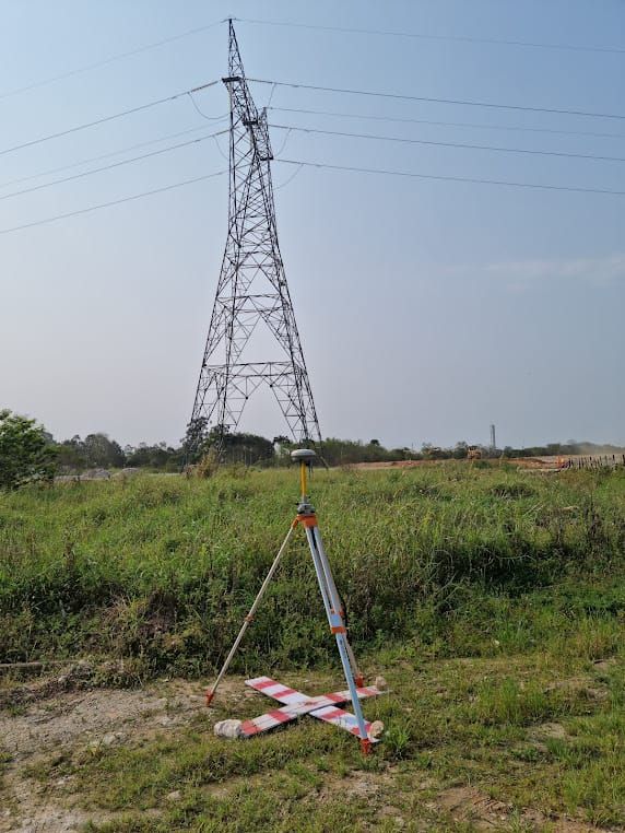
In recent years, conventional topography, using total station and Geodetic GPS – RTK, has been a crucial tool for projects for the implementation of Transmission Lines (LT) and Medium Voltage Networks (RMT). However, this traditional method can be months consuming to complete, especially when it comes to remote and hard-to-reach areas.

Conventional services are usually contracted to register potential interferences, record important structures and surrounding features, and obtain land elevations.

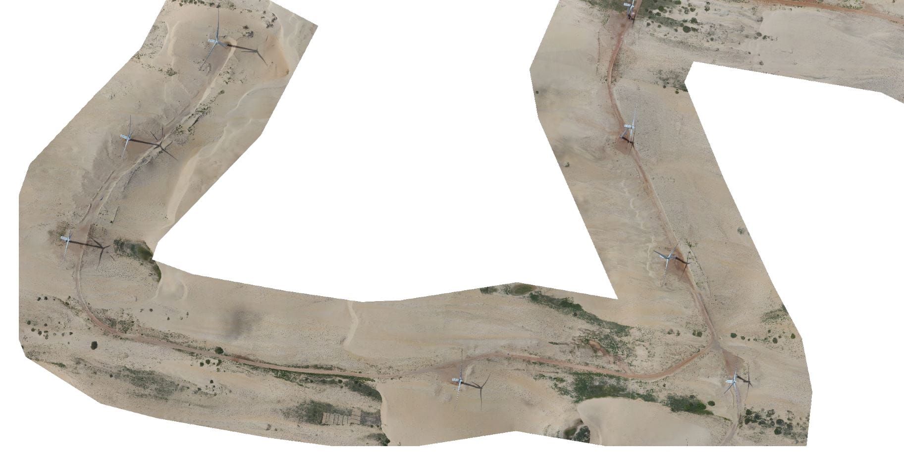
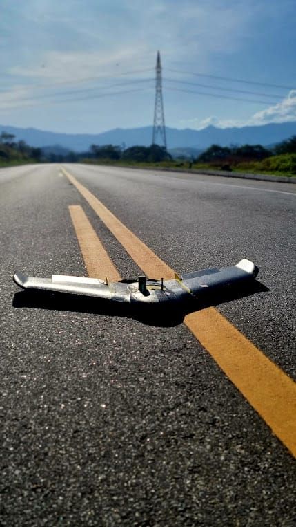
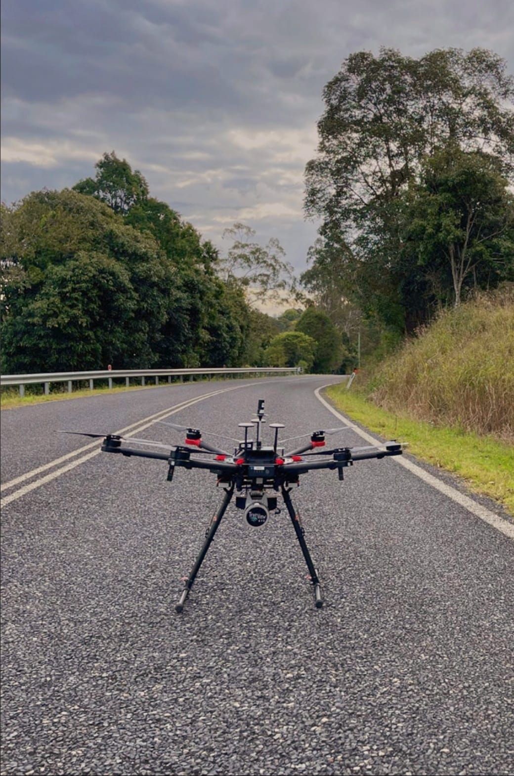
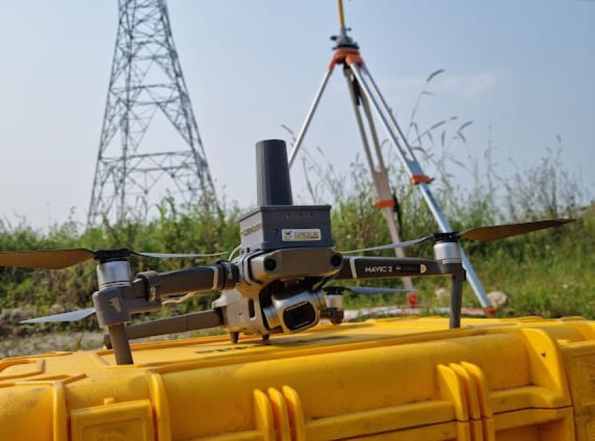
On the other hand, Drone/UAV technology has transformed this scenario by streamlining topographic surveying through Aerophotogrammetry. This approach extracts a significantly higher volume of information in a short period of time compared to the conventional methodology.
MAPEAMENTO DE LINHA DE TRANSMISSÃO E RMT

How to optimize projects with LT/RMT mapping?

The main products generated include:

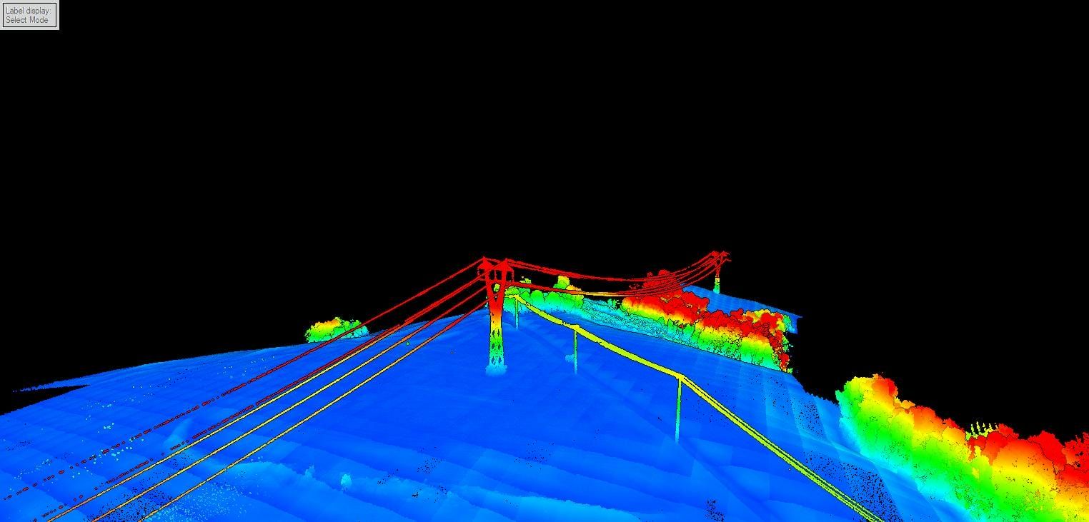
  • High-resolution georeferenced orthomosaics;
  • Digital Terrain Models (DTM);
  • Contour Lines;
  • Vectorization of elements in the work area, such as vegetation, buildings and crops.

By obtaining these products, the designer or engineer can plan the implementation of the LT/RMT, precisely locating the structures to be installed. Comparatively, the execution time between aerial photogrammetry and conventional surveying in large projects can vary from 1 to 6 months, with aerial photogrammetry being a more cost-efficient option for LT/RMT deployment projects.

It is essential to recognize that each technology has its own characteristics, both positive and negative, and understand how to apply them according to the needs of a project.

In scenarios with a lot of obstruction, such as dense vegetation, the quality of the collection of terrain elevation by aerial photogrammetry may be affected, requiring integration with conventional topographic surveys.

GEOSCAN offers both LT/RMT mapping with Drone via aerial photogrammetry and integrated performance with conventional topographic surveying. If you are looking for specialists for these services, please contact us to request a free quote.

Visit our blog

  • MAPEAMENTO DE LINHA DE TRANSMISSÃO E RMT
  • MAPEAMENTO DE LINHA DE TRANSMISSÃO E RMT
  • MAPEAMENTO DE LINHA DE TRANSMISSÃO E RMT
  • MAPEAMENTO DE LINHA DE TRANSMISSÃO E RMT
  • MAPEAMENTO DE LINHA DE TRANSMISSÃO E RMT

    Do you need to help
    with any of our services?