Services

MAPPING OF UNDERGROUND INTERFERENCES

Geophysics is an important research tool in engineering and geotechnical projects. Integrated with other areas of knowledge, it provides relevant information for decision-making and a better understanding of natural and man-made structures found in the subsurface.

What is GPR and how to detect interference in engineering works?

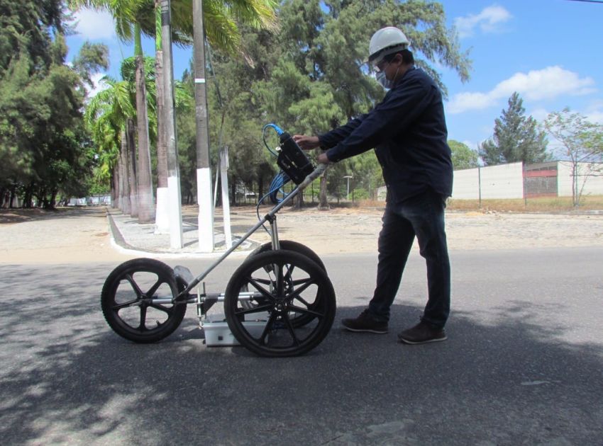
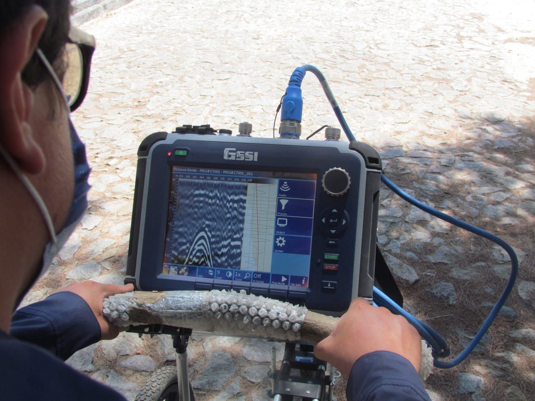
In this context, a frequent situation encountered in engineering works is the stage before excavations. It is often necessary for the soil to be studied beforehand to understand the existing underground infrastructure. For this, GPR (Ground Penetration Radar), also known as georadar, is applied in the mapping of interferences on the ground.

According to the ABNT NBR 15.935 of May 2011 standard, GPR is the first choice for the detection of buried infrastructures involving metallic and non-metallic objects. Its advantage lies in the knowledge of underground interference in a non-destructive way (NDM), prior to excavation or drilling, using electromagnetic waves that identify, with high resolution, buried structures and obstacles.
MAPEAMENTO DE INTERFERÊNCIAS SUBTERRÂNEAS

Subterranean Interference Mapping

Subterranean interference mapping is used to identify various subsurface structures, such as:

  • Metallic and non-metallic pipes, ducts, buried objects, tanks, fiber optic cables, among others;
  • Analysis of concrete structures (rebar and fractures);
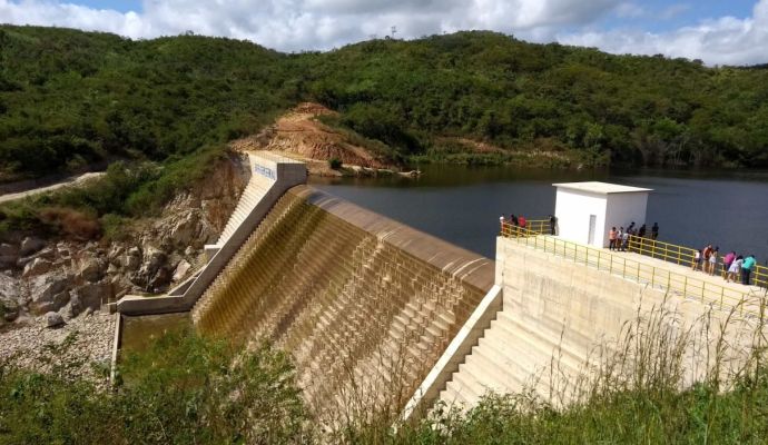
  • Detection of fracture zones in the evaluation of reservoir sites (dams);
  • Identification of contaminated areas, determining the size of the contaminant plume;
  • Determination of depth and thickness of clays;
  • Detection of the depth of healthy rock and thickness of soils;
  • Inspection of roads (road paving) and bridges;
  • Mapping of discontinuities and identification of water level.

To carry out the interference mapping service, it is necessary to have a company specialized in the acquisition, processing and interpretation of data, in order to ensure the quality of the results and, consequently, the demands of the engineering works.

GEOSCAN is a specialist in the mapping of underground interferences, with modern equipment and a team of highly trained professionals. If you want to perform this service, count on us!

Visit our blog

  • MAPEAMENTO DE INTERFERÊNCIAS SUBTERRÂNEAS

    Do you need to help
    with any of our services?