Services

AERIAL PHOTOGRAMMETRY

UAV/Drone in Topography: Efficiency and Accuracy in Terrain Data Generation

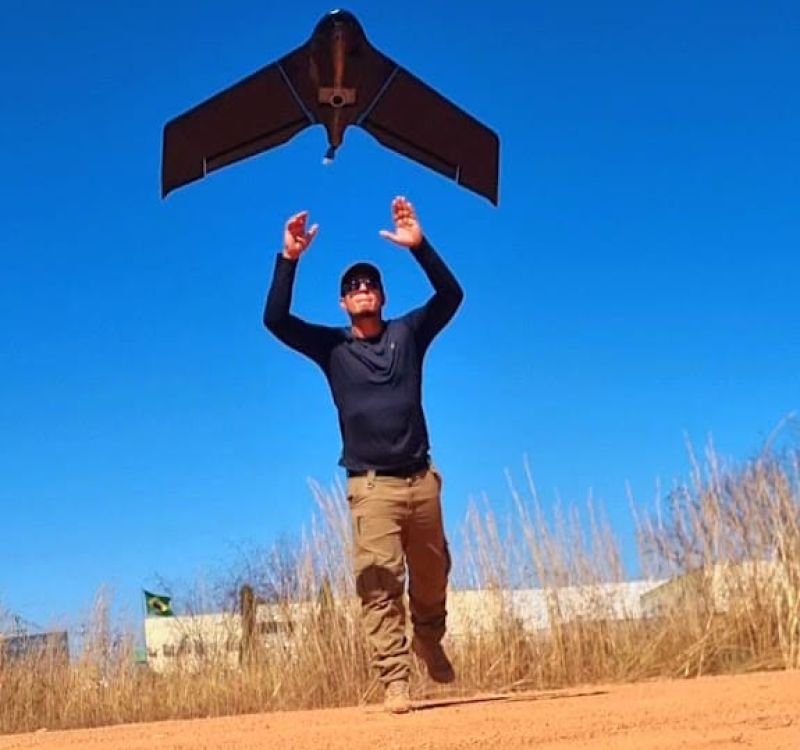
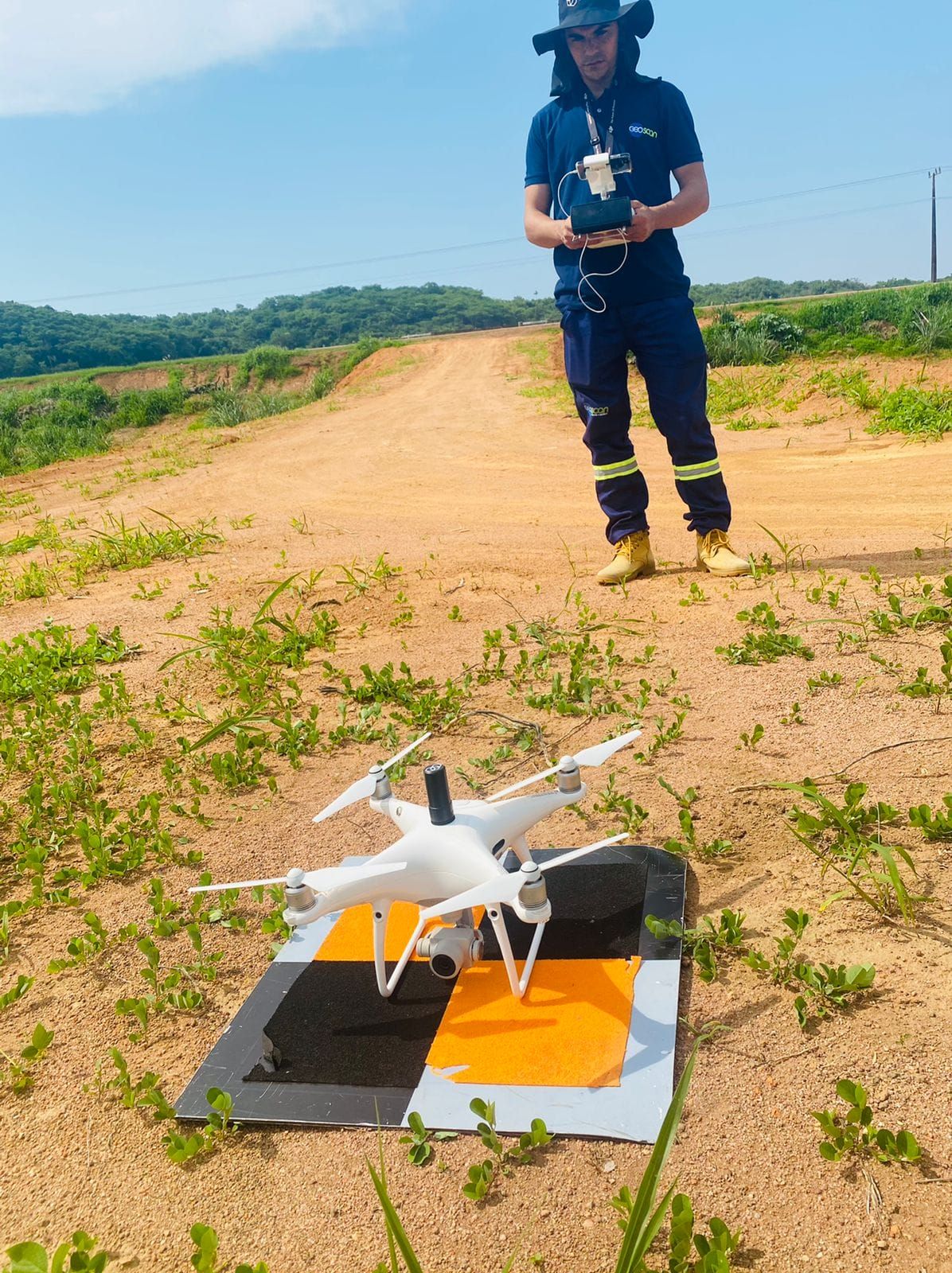
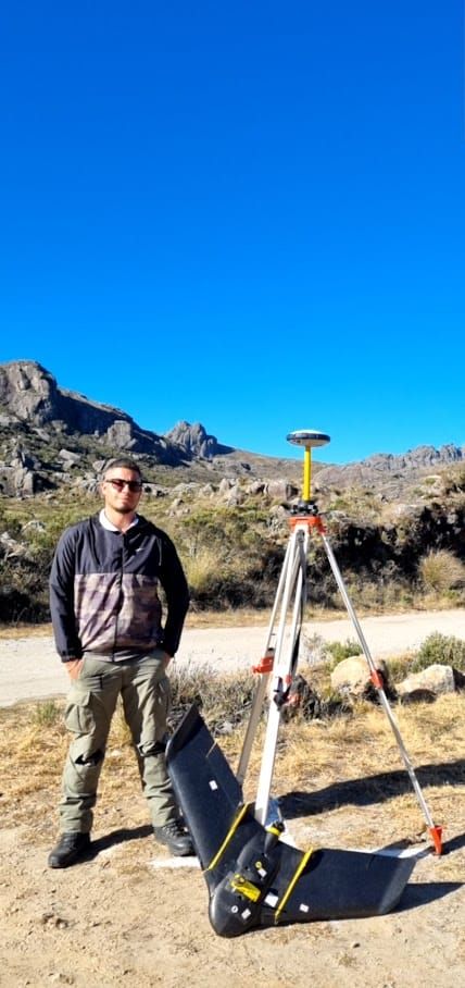
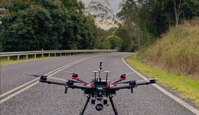
The use of the aerial photogrammetric method is becoming more and more common and growing in projects involving the Mining, Environment and Engineering sectors, justified by the efficiency and quality of the products generated. Unmanned aerial vehicles (UAVs/Drones) generate terrain data in a matter of minutes or hours, whereas many professionals using conventional surveying methods would take days or weeks and even then, limited to determining a few parameters. 

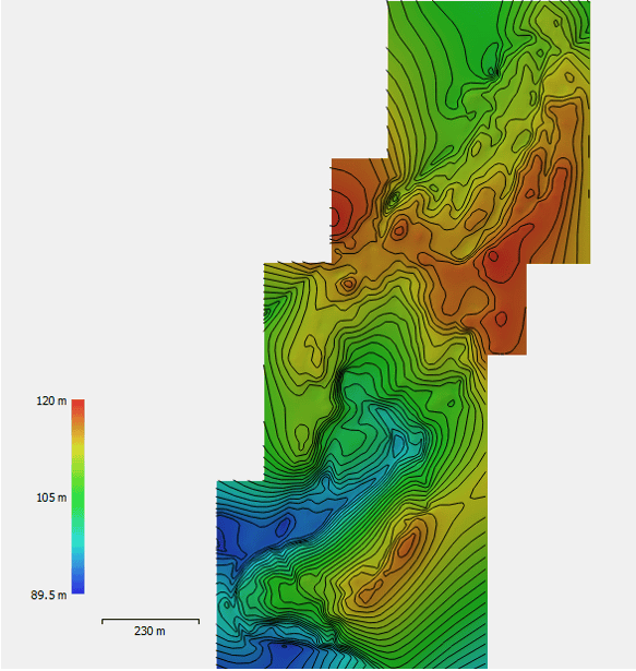
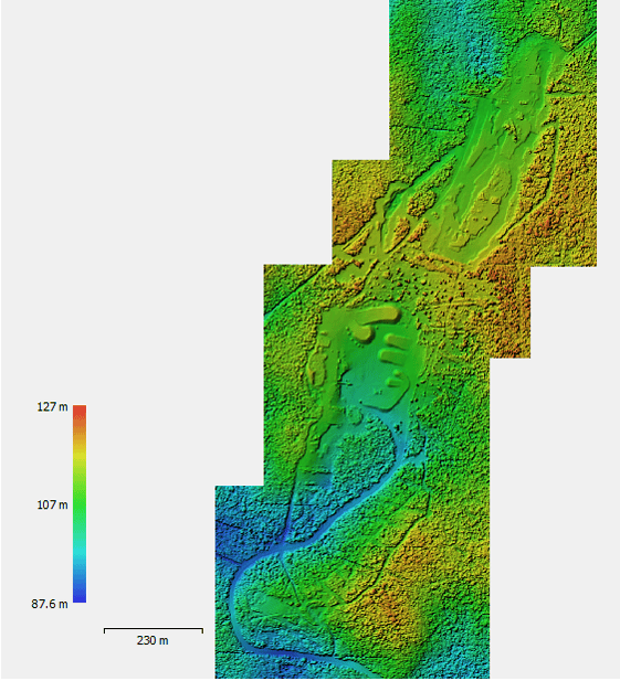
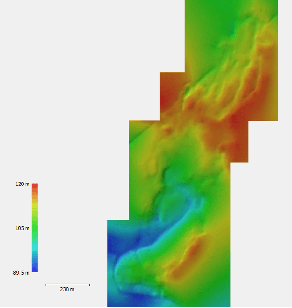
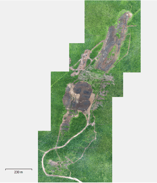
Provides a broad and detailed perspective of the job site, allowing for more effective planning and monitoring of power and transmission line projects. The products generated from the aerial photogrammetric method, with good processing input, have good precision (in the order of centimeters) and are comprehensive, and can be used later to find different measurements (distance, area, elevation and volume) and terrain characteristics (aerial image). The general products are usually:

  • Georeferenced orthomosaic with high resolution;
  • Densified Point Cloud;
  • Digital Surface Model (MDS);
  • Digital Terrain Model (DTM);
  • Contour Lines.

AEROFOTOGRAMETRIA

Some of the main applications of Aerophotogrammetry

  • It provides information on the topography and characteristics of the land with geographical maps and topographic maps, making it possible to extract information on the elevation of the land and perform the georeferencing of land/houses;

  • Identify drainage problems, soil erosion and map agricultural fields;

  • Used for the planning and monitoring of infrastructure projects, such as highways, railways, dams and drainage works. It provides detailed information about the terrain, facilitating the design and execution of civil works;

  • It is used in the management of natural resources such as forests, rivers, lakes, and coastal areas.

  • Widely used in geological mapping to identify and map different lithological units, geological structures such as faults, folds and intrusions, and other terrain features;

    If you want to have a company specialized in the use of the aerial photogrammetric method, contact us!

Visit our blog

  • AEROFOTOGRAMETRIA
  • AEROFOTOGRAMETRIA
  • AEROFOTOGRAMETRIA
  • AEROFOTOGRAMETRIA
  • AEROFOTOGRAMETRIA
  • AEROFOTOGRAMETRIA

    Do you need to help
    with any of our services?